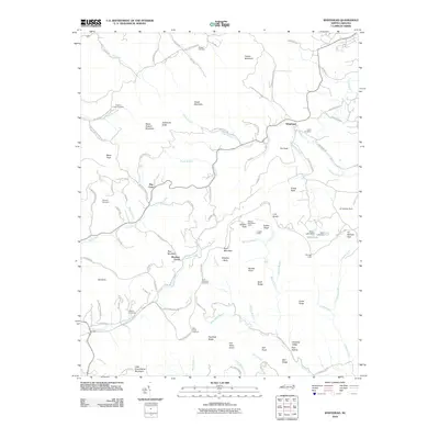
2010 Map of Whitehead
USGS Topo · Published 2010About this map
The mountain settlement of Whitehead serves as a focal point for this section of Alleghany County, where the Little River winds through a landscape defined by prominent peaks like Cheek Mountain and Fender Mountain. The era's transportation network is dominated by the Blue Ridge Pkwy, which provides access to numerous scenic landmarks such as Alligator Back and the Bluff Mountain Overlook. Local history and genealogy are anchored by several established sites, including Prathers Creek Church and its associated Prathers Creek Cemetery, alongside Antioch Cemetery and Stamper Cemetery. This survey highlights the region's historical homesteads, featuring the Caudill Cabin and Brinegar Cabin, which illustrate the enduring rural character of the Blue Ridge highlands. Small-scale water features like Willis Lake and various branches, such as Waterfalls Creek and Wildcat Branch, define the local drainage patterns between the high ridges of Flat Rock Ridge and Bell Ridge.
Find a feature on this map
102 named features on this map. Tap any name to fly to it.
Don’t see what you’re looking for? This feature index may not catch every label — zoom into the map to look around manually.
Map Details
Editions of this 2010 Whitehead Map
This is the sole edition of this map. No revisions or reprints were ever made.
Other maps of this area

1889 · Wytheville
USGS Topo · 1:125,000

1889 · Wilkesboro
USGS Topo · 1:125,000

1891 · Wilkesboro
USGS Topo · 1:125,000

1892 · Wytheville
USGS Topo · 1:125,000

1930 · Independence
USGS Topo · 1:48,000

1933 · Independence
USGS Topo · 1:62,500

1935 · Mouth of Wilson
USGS Topo · 1:48,000

1940 · Mouth of Wilson
USGS Topo · 1:62,500

1953 · Winston-Salem
USGS Topo · 1:250,000

1955 · Winston-Salem
USGS Topo · 1:250,000