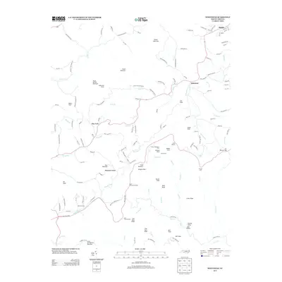
2013 Map of Whitehead
USGS Topo · Published 2013About this map
Whitehead and Sparta anchor this high-country landscape, where the Blue Ridge Pkwy winds across the southern reaches of Alleghany County. The terrain is marked by significant peaks such as Peach Bottom Mountain, Bluff Mountain, and Little Grandfather Mountain, creating a complex network of ridges and deep hollows like Dark Hollow. For historians and genealogists, the map identifies specific heritage sites including Caudill Cabin and Brinegar Cabin, alongside local landmarks like the Wildcat Rock Water Tower. Small settlements like Pine Fork and Pleasant Grove are connected by a web of mountain roads, while the Little River and its numerous tributaries, such as Cheek Br and Waterfalls Cr, define the drainage patterns. Public recreation points are well-represented with the Bluff Mountain Overlook and Millers Camping, illustrating the area's modern identity as a gateway for travelers along the scenic parkway corridor.
Find a feature on this map
141 named features on this map. Tap any name to fly to it.
Don’t see what you’re looking for? This feature index may not catch every label — zoom into the map to look around manually.
Map Details
Editions of this 2013 Whitehead Map
This is the sole edition of this map. No revisions or reprints were ever made.
Other maps of this area

1889 · Wytheville
USGS Topo · 1:125,000

1889 · Wilkesboro
USGS Topo · 1:125,000

1891 · Wilkesboro
USGS Topo · 1:125,000

1892 · Wytheville
USGS Topo · 1:125,000

1930 · Independence
USGS Topo · 1:48,000

1933 · Independence
USGS Topo · 1:62,500

1935 · Mouth of Wilson
USGS Topo · 1:48,000

1940 · Mouth of Wilson
USGS Topo · 1:62,500

1953 · Winston-Salem
USGS Topo · 1:250,000

1955 · Winston-Salem
USGS Topo · 1:250,000