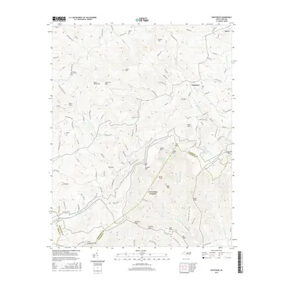
2016 Map of Whitehead
USGS Topo · Published 2016About this map
The Blue Ridge Parkway snakes across the high ridges of the Blue Ridge Mountains in this 2016 survey, tracing the border between Alleghany and Wilkes counties. The small settlement of Whitehead serves as a local hub near the Little River, surrounded by family-named landmarks and historical burial grounds such as Union Cem and Antioch Cem. The landscape is defined by its dramatic elevation changes, featuring prominent peaks like Fodder Stack, Alligator Back, and Little Grandfather Mtn.
Find a feature on this map
136 named features on this map. Tap any name to fly to it.
Don’t see what you’re looking for? This feature index may not catch every label — zoom into the map to look around manually.
Map Details
Editions of this 2016 Whitehead Map
This is the sole edition of this map. No revisions or reprints were ever made.
Other maps of this area

1889 · Wytheville
USGS Topo · 1:125,000

1889 · Wilkesboro
USGS Topo · 1:125,000

1891 · Wilkesboro
USGS Topo · 1:125,000

1892 · Wytheville
USGS Topo · 1:125,000

1930 · Independence
USGS Topo · 1:48,000

1933 · Independence
USGS Topo · 1:62,500

1935 · Mouth of Wilson
USGS Topo · 1:48,000

1940 · Mouth of Wilson
USGS Topo · 1:62,500

1953 · Winston-Salem
USGS Topo · 1:250,000

1955 · Winston-Salem
USGS Topo · 1:250,000