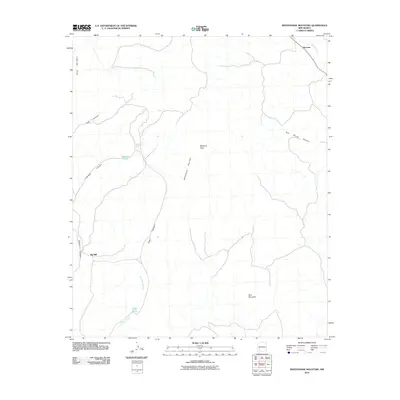
2010 Map of Whitehorse Mountain
USGS Topo · Published 2010About this map
The Mimbres River flows through the northeast corner of this high-desert landscape, where the small settlement of Sherman sits near the riverbanks. The terrain is defined by a series of prominent peaks and deeply incised canyons, including Whitehorse Mountain, Mimbres Peak, and Blue Mountain. These elevations are separated by numerous drainages such as Tom Brown Canyon, Oak Canyon, and Negro Canyon.
Find a feature on this map
14 named features on this map. Tap any name to fly to it.
Don’t see what you’re looking for? This feature index may not catch every label — zoom into the map to look around manually.
Map Details
Editions of this 2010 Whitehorse Mountain Map
This is the sole edition of this map. No revisions or reprints were ever made.
Other maps of this area
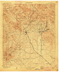
1909 · Silver City
USGS Topo · 1:125,000
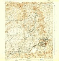
1937 · Santa Rita
USGS Topo · 1:24,000
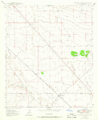
1947 · Faywood Station
USGS Topo · 1:24,000
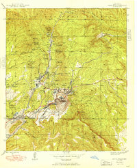
1948 · Santa Rita
USGS Topo · 1:24,000
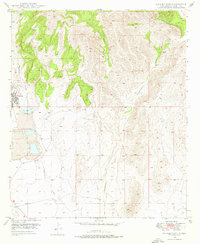
1948 · Hurley East
USGS Topo · 1:24,000
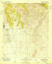
1949 · Hurley East
USGS Topo · 1:24,000
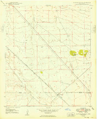
1949 · Faywood Station
USGS Topo · 1:24,000
1951 · Santa Rita
USGS Topo · 1:24,000

1954 · Silver City
USGS Topo · 1:250,000
1955 · Las Cruces
USGS Topo · 1:250,000