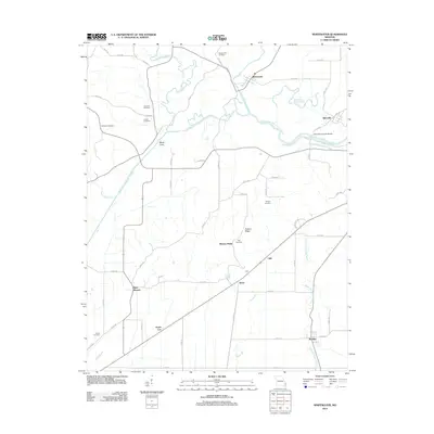
2012 Map of Whitewater
USGS Topo · Published 2012About this map
The Castor River Diversion Channel cuts a massive diagonal across this Southeast Missouri landscape, radically altering the local drainage patterns near Whitewater and Allenville. This engineering feat dominates the geography, intersecting with natural watercourses like Crooked Creek and Upper Whitewater Creek. For the local historian, the map reveals a dense network of family-named burial grounds, including Stroderville Cemetery, Passover Cemetery, and Proffer Cemetery, which speak to the deep-rooted settlement patterns of the region. The map also features the Allenville Covered Bridge, a notable landmark near the Horseshoe Bend Slough. To the south, the terrain rises toward Hickory Ridge, while smaller communities such as Arbor, Green Cox, and Randles are connected by a grid of county roads, illustrating the persistent rural character of Cape Girardeau County in the early 21st century.
Find a feature on this map
65 named features on this map. Tap any name to fly to it.
Don’t see what you’re looking for? This feature index may not catch every label — zoom into the map to look around manually.
Map Details
Editions of this 2012 Whitewater Map
This is the sole edition of this map. No revisions or reprints were ever made.
Other maps of this area

1922 · Cape Girardeau
USGS Topo · 1:62,500

1924 · Cape Girardeau
USGS Topo · 1:62,500

1933 · Marble Hill
USGS Topo · 1:62,500

1934 · Morley
USGS Topo · 1:62,500

1934 · Advance
USGS Topo · 1:62,500

1937 · Marble Hill
USGS Topo · 1:62,500

1939 · Morley
USGS Topo · 1:62,500

1939 · Advance
USGS Topo · 1:62,500

1949 · Paducah
USGS Topo · 1:250,000

1950 · Paducah
USGS Topo · 1:250,000