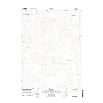
2014 Map of Whitewater Lake
USGS Topo · Published 2014About this map
The Nebraska Sandhills define this landscape where Hooker and McPherson counties meet. The terrain is characterized by a series of depressions and valleys, most notably Bassett Valley in the northwest and the expansive Big Lamunyon Flats in the southeast. Water is the primary feature of interest here, with several named basins including Stickney Lake, Sand Beach Lake, and the central Whitewater Lake. These lakes, along with Dry Lake, suggest a fluctuating water table typical of this portion of the state.
Find a feature on this map
11 named features on this map. Tap any name to fly to it.
Don’t see what you’re looking for? This feature index may not catch every label — zoom into the map to look around manually.
Map Details
Editions of this 2014 Whitewater Lake Map
This is the sole edition of this map. No revisions or reprints were ever made.
Other maps of this area

1947 · Dismal River Ranch
USGS Topo · 1:62,500

1948 · Carr Lake
USGS Topo · 1:62,500

1949 · Dismal River Ranch
USGS Topo · 1:62,500

1949 · Flats
USGS Topo · 1:62,500

1949 · Wright Valley
USGS Topo · 1:62,500

1950 · Flats
USGS Topo · 1:62,500

1950 · Carr Lake
USGS Topo · 1:62,500

1951 · Wright Valley
USGS Topo · 1:62,500

1954 · North Platte
USGS Topo · 1:250,000

1956 · North Platte
USGS Topo · 1:250,000