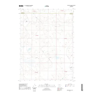
2017 Map of Whitewater Lake
USGS Topo · Published 2017About this map
Sand Beach Lake and Stickney Lake sit amidst the interdunal basins of the Nebraska Sandhills, a landscape defined by its distinctive hydrography and shifting sandy terrain. The border between Hooker and McPherson counties cuts across the northern reaches of this territory, where isolated bodies of water like West Cody Lake provide vital resources for the surrounding ranching country. The presence of numerous wetland signatures and named depressions, such as Dry Lake and the expanse of Big Lamunyon Flats, highlights the seasonal nature of water in this semi-arid environment.
Find a feature on this map
22 named features on this map. Tap any name to fly to it.
Don’t see what you’re looking for? This feature index may not catch every label — zoom into the map to look around manually.
Map Details
Editions of this 2017 Whitewater Lake Map
This is the sole edition of this map. No revisions or reprints were ever made.
Other maps of this area

1947 · Dismal River Ranch
USGS Topo · 1:62,500

1948 · Carr Lake
USGS Topo · 1:62,500

1949 · Dismal River Ranch
USGS Topo · 1:62,500

1949 · Flats
USGS Topo · 1:62,500

1949 · Wright Valley
USGS Topo · 1:62,500

1950 · Flats
USGS Topo · 1:62,500

1950 · Carr Lake
USGS Topo · 1:62,500

1951 · Wright Valley
USGS Topo · 1:62,500

1954 · North Platte
USGS Topo · 1:250,000

1956 · North Platte
USGS Topo · 1:250,000