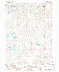
1985 Map of Whitewater Lake
USGS Topo · Published 1986About this map
Whitewater Lake sits at the heart of this Sandhills landscape on the border of Hooker and McPherson counties. The terrain is defined by a series of isolated basins and valleys, including Bassett Valley and the broad reaches of Lamunyon Flats. This mid-1980s provisional survey illustrates a sparsely populated ranching economy where property boundaries and homesteads like Whitewater Ranch and Pinkerton Ranch are the primary markers of human presence.
Find a feature on this map
15 named features on this map. Tap any name to fly to it.
Don’t see what you’re looking for? This feature index may not catch every label — zoom into the map to look around manually.
Map Details
Editions of this 1985 Whitewater Lake Map
This is the sole edition of this map. No revisions or reprints were ever made.
Other maps of this area

1947 · Dismal River Ranch
USGS Topo · 1:62,500

1948 · Carr Lake
USGS Topo · 1:62,500

1949 · Dismal River Ranch
USGS Topo · 1:62,500

1949 · Flats
USGS Topo · 1:62,500

1949 · Wright Valley
USGS Topo · 1:62,500

1950 · Flats
USGS Topo · 1:62,500

1950 · Carr Lake
USGS Topo · 1:62,500

1951 · Wright Valley
USGS Topo · 1:62,500

1954 · North Platte
USGS Topo · 1:250,000

1956 · North Platte
USGS Topo · 1:250,000