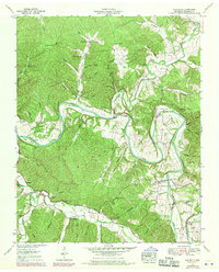
1952 Map of Whitfield
USGS Topo · Published 1970About this map
The Duck River carves a deep, winding path through this portion of Hickman County, creating a series of dramatic oxbows including Lowe Bend, Wilson Bend, and Council Bend. These tight river loops defined the local settlement patterns, leaving narrow peninsulas of land where small community hubs like Whitfield and landmarks like the Lowe Bend Ch were established. To the north, the Piney River joins the system, flowing past Mt Pillar Ridge and the Rock Field Ch.
Find a feature on this map
83 named features on this map. Tap any name to fly to it.
Don’t see what you’re looking for? This feature index may not catch every label — zoom into the map to look around manually.
Map Details
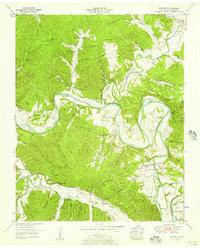
Editions of this 1952 Whitfield Map
2 editions found
Other maps of this area

1901 · Colombia
USGS Topo · 1:125,000

1936 · Pleasantville
USGS Topo · 1:24,000

1936 · Coble
USGS Topo · 1:24,000

1936 · Beaverdam Springs
USGS Topo · 1:24,000

1936 · Nunnelly
USGS Topo · 1:24,000

1936 · Whitfield
USGS Topo · 1:24,000

1936 · Sunrise
USGS Topo · 1:24,000

1936 · Bucksnort
USGS Topo · 1:24,000

1936 · Texas Hollow
USGS Topo · 1:24,000

1936 · Spot
USGS Topo · 1:24,000