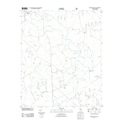
2011 Map of Whitmire South
USGS Topo · Published 2011About this map
The Enoree River winds through this South Carolina landscape, creating a prominent Horseshoe Bend as it flows past historic river crossings like Avery Ford and Brazzlemans Bridge. This region in Newberry County is characterized by a network of creeks—including Hunting Creek, Indian Creek, and Kings Creek—that defined early settlement patterns and land use. Small communities and landmarks such as Bakers Cross Roads and the Long Lane Lookout Tower are central to the geography of the area.
Find a feature on this map
47 named features on this map. Tap any name to fly to it.
Don’t see what you’re looking for? This feature index may not catch every label — zoom into the map to look around manually.
Map Details
Editions of this 2011 Whitmire South Map
This is the sole edition of this map. No revisions or reprints were ever made.
Other maps of this area

1904 · Columbia
USGS Topo · 1:125,000

1941 · Spartanburg
USGS Topo · 1:250,000

1953 · Spartanburg
USGS Topo · 1:250,000

1960 · Spartanburg
USGS Topo · 1:250,000

1963 · Spartanburg
USGS Topo · 1:250,000

1964 · Spartanburg
USGS Topo · 1:250,000

1968 · Newberry East
USGS Topo · 1:24,000

1969 · Whitmire South
USGS Topo · 1:24,000

1969 · Pomaria
USGS Topo · 1:24,000

1969 · Blair
USGS Topo · 1:24,000