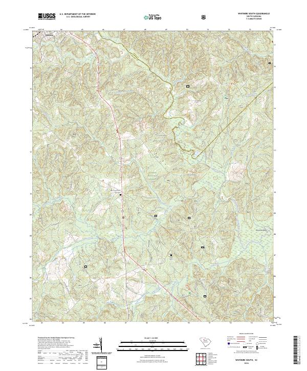
2024 Map of Whitmire South
USGS Topo · Published 2024About this map
Whitmire serves as the northern anchor for this landscape where the boundaries of Union Co and Newberry Co meet along the winding Enoree River. Much of the terrain is managed as part of the Sumter National Forest, characterized by a dense network of watercourses including Indian Creek, Kings Creek, and Gilders Creek. The map provides specific points of interest for genealogists, such as the New Hope Church Graveyard and Kings Creek Cem, which sit alongside historic transit corridors like the Old Whitmire Hwy. Outdoor recreation is evidenced by the Enoree River Canoe Trl and the prominent Horseshoe Bend in the river's path. Numerous family-named roads, such as Larry E Cope Rd and Wallace A Rd, trace the ridges between the many branches and creeks that feed the regional drainage system.
Find a feature on this map
48 named features on this map. Tap any name to fly to it.
Don’t see what you’re looking for? This feature index may not catch every label — zoom into the map to look around manually.
Map Details
Editions of this 2024 Whitmire South Map
This is the sole edition of this map. No revisions or reprints were ever made.
Other maps of this area

1904 · Columbia
USGS Topo · 1:125,000

1941 · Spartanburg
USGS Topo · 1:250,000

1953 · Spartanburg
USGS Topo · 1:250,000

1960 · Spartanburg
USGS Topo · 1:250,000

1963 · Spartanburg
USGS Topo · 1:250,000

1964 · Spartanburg
USGS Topo · 1:250,000

1968 · Newberry East
USGS Topo · 1:24,000

1969 · Whitmire South
USGS Topo · 1:24,000

1969 · Pomaria
USGS Topo · 1:24,000

1969 · Blair
USGS Topo · 1:24,000