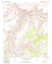
1967 Map of Whitmore Point SE
USGS Topo · Published 1985About this map
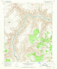
The Colorado River carves a deep path through northwestern Arizona on this 1967 survey, serving as a political and natural boundary between the Grand Canyon National Park and the Hualapai Indian Reservation. This map illustrates the convergence of major federal and tribal lands, including the eastern reaches of the Lake Mead National Recreation Area. The landscape is defined by its dramatic relief and hydrography, marked by significant river features like the Two Hundred and Fivemile Rapids.
Find a feature on this map
15 named features on this map. Tap any name to fly to it.
Don’t see what you’re looking for? This feature index may not catch every label — zoom into the map to look around manually.
Map Details
Editions of this 1967 Whitmore Point SE Map
2 editions found
Other maps of this area

1886 · Diamond Creek
USGS Topo · 1:250,000

1886 · Mt. Trumbull
USGS Topo · 1:250,000

1892 · Diamond Creek
USGS Topo · 1:250,000

1892 · Mt. Trumbull
USGS Topo · 1:250,000

1948 · Williams
USGS Topo · 1:250,000

1953 · Grand Canyon
USGS Topo · 1:250,000

1954 · Williams
USGS Topo · 1:250,000

1956 · Williams
USGS Topo · 1:250,000

1957 · Grand Canyon
USGS Topo · 1:250,000

1958 · Grand Canyon
USGS Topo · 1:250,000