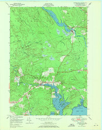
1948 Map of Whitneyville
USGS Topo · Published 1971About this map
Whitneyville and Jonesboro anchor this mid-century survey of coastal Washington County, where the landscape is defined by the winding paths of the Machias River and Chandler River. The map illustrates a region transitioning from tidal coves and marshes to the distinctive glacial topography of Down East Maine. Local history is etched into the terrain through family and descriptive names like Halls Ridge, Kilton Mtn, and the foreboding Mt Misery. Along the southern shoreline, the intricate coastline of Great Cove is detailed with numerous mud and boulder flats, points such as Board Pt, and quiet inlets like Tenney Cove. Inland, the presence of the White School and the Central Maine road network indicates the rural community structure of the late 1940s, while numerous labeled heaths and brooks like Arna Meadow Bk highlight the watery nature of the interior timber and blueberry lands.
Find a feature on this map
47 named features on this map. Tap any name to fly to it.
Don’t see what you’re looking for? This feature index may not catch every label — zoom into the map to look around manually.
Map Details
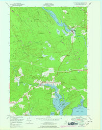
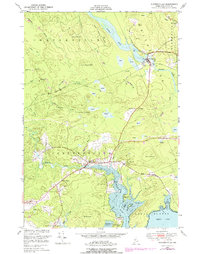
Editions of this 1948 Whitneyville Map
3 editions found
Other maps of this area

1918 · Machias
USGS Topo · 1:62,500

1921 · Columbia Falls
USGS Topo · 1:62,500

1921 · Columbia Falls
USGS Topo · 1:62,500

1941 · Columbia Falls
USGS Topo · 1:62,500

1941 · Machias
USGS Topo · 1:62,500

1941 · Wesley
USGS Topo · 1:62,500

1941 · Gardner Lake
USGS Topo · 1:62,500

1942 · Columbia Falls
USGS Topo · 1:62,500

1943 · Wesley
USGS Topo · 1:62,500

1943 · Gardner Lake
USGS Topo · 1:62,500