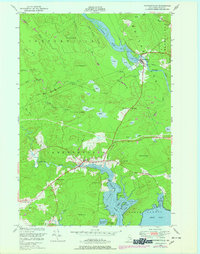
1948 Map of Whitneyville
USGS Topo · Published 1978About this map
The Maine Central railroad cuts a definitive line across this coastal Maine landscape, connecting the village of Whitneyville on the Machias River to the settlement of Jonesboro further south. The area is defined by a dense network of water bodies and marshlands, often labeled as Heath, which flank the winding course of the Chandler River. These wetlands provide a stark contrast to the surrounding elevations like Hemlock Hill, Cottontail Hill, and the aptly named Mt Misery.
Find a feature on this map
49 named features on this map. Tap any name to fly to it.
Don’t see what you’re looking for? This feature index may not catch every label — zoom into the map to look around manually.
Map Details
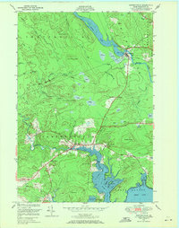
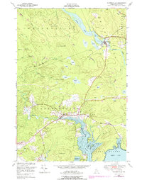
Editions of this 1948 Whitneyville Map
3 editions found
Other maps of this area

1918 · Machias
USGS Topo · 1:62,500

1921 · Columbia Falls
USGS Topo · 1:62,500

1921 · Columbia Falls
USGS Topo · 1:62,500

1941 · Columbia Falls
USGS Topo · 1:62,500

1941 · Machias
USGS Topo · 1:62,500

1941 · Wesley
USGS Topo · 1:62,500

1941 · Gardner Lake
USGS Topo · 1:62,500

1942 · Columbia Falls
USGS Topo · 1:62,500

1943 · Wesley
USGS Topo · 1:62,500

1943 · Gardner Lake
USGS Topo · 1:62,500