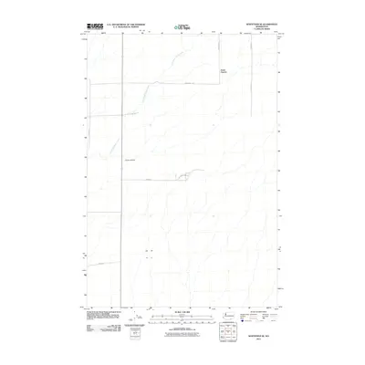
2011 Map of Whitstran SE
USGS Topo · Published 2011About this map
Horse Heaven characterizes this high plateau region of Benton County, defined by a sparse network of section-line roads and deep drainage patterns. The landscape is primarily shaped by the East Branch Glade Creek, which carves through the terrain alongside topographical features like Carter Canyon. This 2011 survey illustrates the rural infrastructure of the Columbia Basin, where long stretches of road such as Anderson Rd and S Tyacke Rd connect isolated agricultural holdings. The map provides a clear look at the intersection of early 21st-century land management and the natural hydrology of the eastern Washington desert, showing how local routes like Bybee Dr and Gwinn Rd navigate the undulating slopes above the canyon floors.
Find a feature on this map
10 named features on this map. Tap any name to fly to it.
Don’t see what you’re looking for? This feature index may not catch every label — zoom into the map to look around manually.
Map Details
Editions of this 2011 Whitstran SE Map
This is the sole edition of this map. No revisions or reprints were ever made.
Other maps of this area

1906 · Blalock Island
USGS Topo · 1:125,000

1908 · Blalock Island
USGS Topo · 1:125,000

1908 · Umatilla
USGS Topo · 1:125,000

1915 · Prosser
USGS Topo · 1:125,000

1917 · Pasco
USGS Topo · 1:125,000

1917 · Prosser
USGS Topo · 1:125,000

1953 · Pendleton
USGS Topo · 1:250,000

1953 · Walla Walla
USGS Topo · 1:250,000

1956 · Pendleton
USGS Topo · 1:250,000

1958 · Walla Walla
USGS Topo · 1:250,000