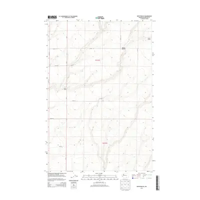
2013 Map of Whitstran SE
USGS Topo · Published 2013About this map
Horse Heaven plateau dominates this section of the Washington-Benton county line, where the high desert landscape is deeply incised by drainages like Carter Canyon. The map reveals a systematic grid of rural roads and land divisions within t7n r26e and t6n r26e, illustrating the agricultural layout of the region in the early 21st century. SR 221 serves as the primary north-south artery, connecting remote farmsteads and agricultural plots. The seasonal water pattern is marked by E Br Glade Cr, which winds through the northwestern corner. Family and local names are preserved in the road network, including Rydeholm Rd, Gwinn Rd, and Lenzie Rd, providing a clear record of land ownership and infrastructure in this high-altitude corner of the state.
Find a feature on this map
15 named features on this map. Tap any name to fly to it.
Don’t see what you’re looking for? This feature index may not catch every label — zoom into the map to look around manually.
Map Details
Editions of this 2013 Whitstran SE Map
This is the sole edition of this map. No revisions or reprints were ever made.
Other maps of this area

1906 · Blalock Island
USGS Topo · 1:125,000

1908 · Blalock Island
USGS Topo · 1:125,000

1908 · Umatilla
USGS Topo · 1:125,000

1915 · Prosser
USGS Topo · 1:125,000

1917 · Pasco
USGS Topo · 1:125,000

1917 · Prosser
USGS Topo · 1:125,000

1953 · Pendleton
USGS Topo · 1:250,000

1953 · Walla Walla
USGS Topo · 1:250,000

1956 · Pendleton
USGS Topo · 1:250,000

1958 · Walla Walla
USGS Topo · 1:250,000