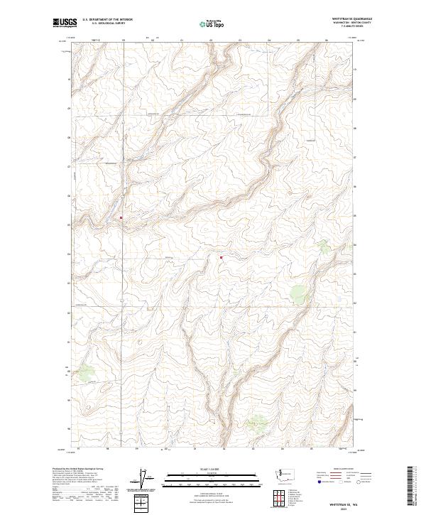
2023 Map of Whitstran SE
USGS Topo · Published 2023About this map
The East Branch Glade Creek drainage network defines the movement and settlement patterns of this Benton County landscape. This modern survey illustrates a rural region organized by an extensive grid of local routes, many of which bear the names of early resident families. Anderson Rd, Rydeholm Rd, and Lenzie Rd crisscross the upland plateaus and lower drainage basins, serving the agricultural and residential holdings within Townships 6 and 7 North. The topography is further characterized by the distinctive Carter Canyon, which cuts through the northeastern portion of the quadrangle. The lack of concentrated municipal centers highlights a community defined by its dispersed farmsteads and the vital network of roads like Horrigan Rd and Gwinn Rd that connect them across the undulating terrain of eastern Washington.
Find a feature on this map
15 named features on this map. Tap any name to fly to it.
Don’t see what you’re looking for? This feature index may not catch every label — zoom into the map to look around manually.
Map Details
Editions of this 2023 Whitstran SE Map
This is the sole edition of this map. No revisions or reprints were ever made.
Other maps of this area

1906 · Blalock Island
USGS Topo · 1:125,000

1908 · Blalock Island
USGS Topo · 1:125,000

1908 · Umatilla
USGS Topo · 1:125,000

1915 · Prosser
USGS Topo · 1:125,000

1917 · Pasco
USGS Topo · 1:125,000

1917 · Prosser
USGS Topo · 1:125,000

1953 · Pendleton
USGS Topo · 1:250,000

1953 · Walla Walla
USGS Topo · 1:250,000

1956 · Pendleton
USGS Topo · 1:250,000

1958 · Walla Walla
USGS Topo · 1:250,000