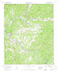
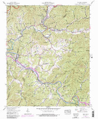
1967 Map of Whittier
USGS Topo · Published 1970About this map
The Cherokee Indian Reservation and Qualla Indian Reservation define the cultural landscape of this 1960s survey, where the Oconaluftee River meets the Tuckasegee River. In Cherokee, institutional and cultural landmarks like the Cherokee School, the Mountainside Theater, and the Oconaluftee Indian Village are clearly marked, alongside the Qualla Housing Project.
Find a feature on this map
99 named features on this map. Tap any name to fly to it.
Don’t see what you’re looking for? This feature index may not catch every label — zoom into the map to look around manually.
Map Details
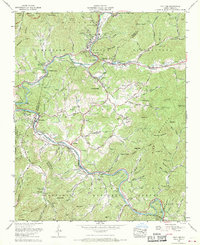
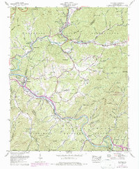
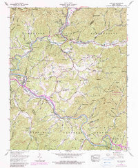
Editions of this 1967 Whittier Map
5 editions found
Other maps of this area

1891 · Cowee
USGS Topo · 1:125,000

1893 · Mt Guyot
USGS Topo · 1:125,000

1897 · Cowee
USGS Topo · 1:125,000

1907 · Cowee
USGS Topo · 1:125,000

1912 · Mt Guyot
USGS Topo · 1:125,000

1933 · Bryson
USGS Topo · 1:62,500

1935 · Cullowhee
USGS Topo · 1:24,000

1935 · Addie
USGS Topo · 1:24,000
1936 · Greens Creek
USGS Topo · 1:24,000

1936 · Bunches Bald
USGS Topo · 1:24,000
Featured Places
- Cherokee, Yellowhill Community
- Birdtown Community, NC
- Whittier, NC
- Painttown Community, NC
- Wolftown Community, NC