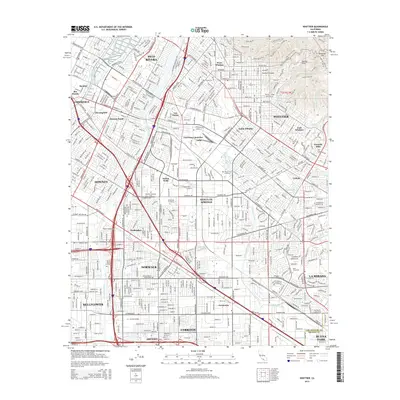
2015 Map of Whittier
USGS Topo · Published 2015About this map
The Puente Hills rise above a dense urban landscape where the Rio Hondo and San Gabriel River parallel one another through the heart of Los Angeles County. This survey highlights the complex transportation and educational infrastructure of the region, anchored by institutions like Whittier College, Biola University, and Cerritos College. The map captures the interface between industrial corridors, such as Commerce and Los Nietos Junction, and established residential communities like Pico Rivera, Downey, and Whittier.
Find a feature on this map
138 named features on this map. Tap any name to fly to it.
Don’t see what you’re looking for? This feature index may not catch every label — zoom into the map to look around manually.
Map Details
Editions of this 2015 Whittier Map
This is the sole edition of this map. No revisions or reprints were ever made.
Other maps of this area

1894 · Los Angeles
USGS Topo · 1:62,500

1894 · Pomona
USGS Topo · 1:62,500

1896 · Pasadena
USGS Topo · 1:62,500

1896 · Anaheim
USGS Topo · 1:62,500

1896 · Downey
USGS Topo · 1:62,500

1897 · Pomona
USGS Topo · 1:62,500

1898 · Pomona
USGS Topo · 1:62,500

1898 · Anaheim
USGS Topo · 1:62,500

1899 · Downey
USGS Topo · 1:62,500

1900 · Pasadena
USGS Topo · 1:62,500