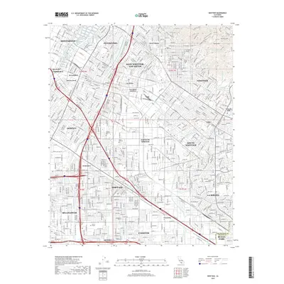
2018 Map of Whittier
USGS Topo · Published 2018About this map
Puente Hills and Turnbull Canyon rise above the dense suburban landscape of Los Angeles County, providing a stark geographic contrast to the sprawling residential grids of Whittier and Downey. The area is anchored by several major educational and religious institutions, including Whittier College, Biola Univ, and Cerritos College. The hydrography is dominated by the engineered channels of the Rio Hondo and the San Gabriel River, the latter accompanied by the San Gabriel River Trail.
Find a feature on this map
59 named features on this map. Tap any name to fly to it.
Don’t see what you’re looking for? This feature index may not catch every label — zoom into the map to look around manually.
Map Details
Editions of this 2018 Whittier Map
This is the sole edition of this map. No revisions or reprints were ever made.
Other maps of this area

1894 · Los Angeles
USGS Topo · 1:62,500

1894 · Pomona
USGS Topo · 1:62,500

1896 · Pasadena
USGS Topo · 1:62,500

1896 · Anaheim
USGS Topo · 1:62,500

1896 · Downey
USGS Topo · 1:62,500

1897 · Pomona
USGS Topo · 1:62,500

1898 · Pomona
USGS Topo · 1:62,500

1898 · Anaheim
USGS Topo · 1:62,500

1899 · Downey
USGS Topo · 1:62,500

1900 · Pasadena
USGS Topo · 1:62,500