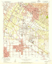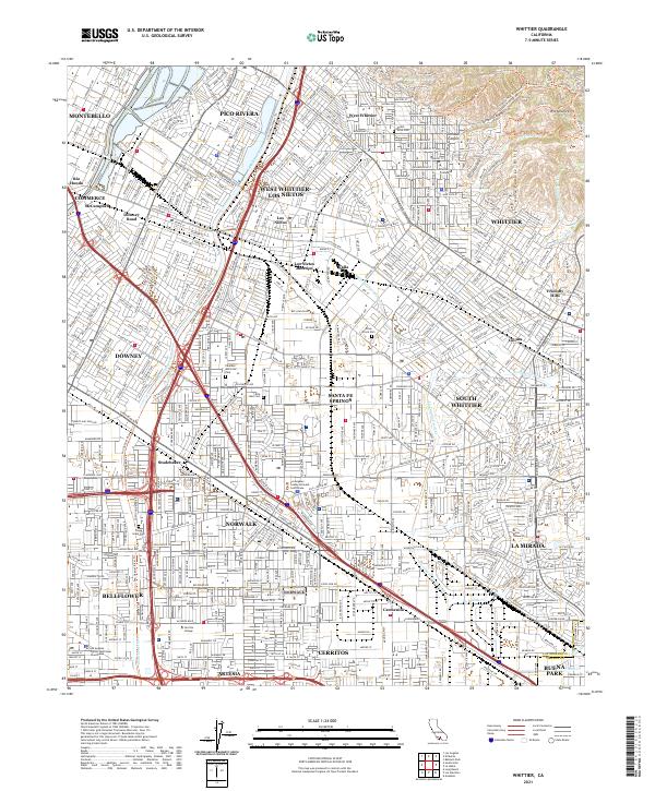
2021 Map of Whittier
USGS Topo · Published 2021About this map
Whittier and its surrounding communities are documented in this contemporary survey, illustrating the dense suburban layout of the southeastern Los Angeles Basin. The landscape is defined by the contrast between the flat alluvial plains of the San Gabriel River and the rising elevations of the Puente Hills, where Turnbull Canyon and Workman Hill provide a natural backdrop to the city. Educational institutions like Whittier College, Biola University, and Cerritos College serve as major anchor points for the region's development.
Find a feature on this map
50 named features on this map. Tap any name to fly to it.
Don’t see what you’re looking for? This feature index may not catch every label — zoom into the map to look around manually.
Map Details
Editions of this 2021 Whittier Map
This is the sole edition of this map. No revisions or reprints were ever made.
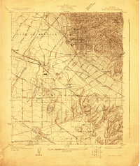
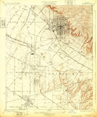
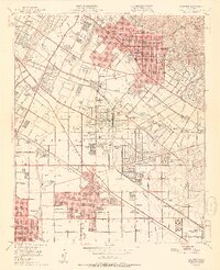
Historical Maps of Valla Through Time
7 maps found