Loading...
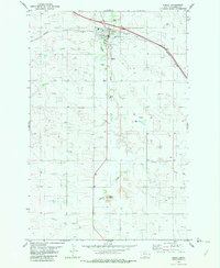
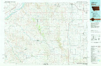
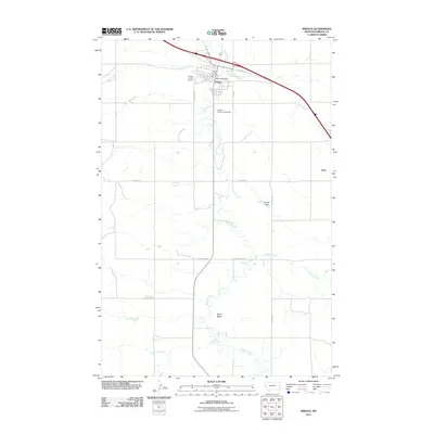
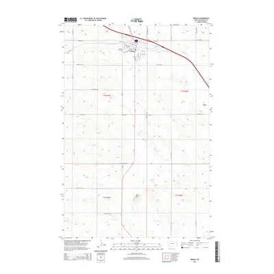
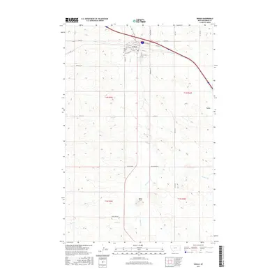
Loading map...1982 Map of Wibaux
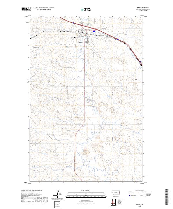
USGS Topo · Published 1982About this map
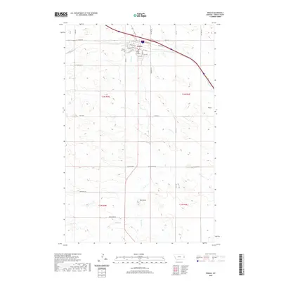
Wibaux serves as the primary hub of this eastern Montana landscape, centered where the Burlington Northern railroad corridor meets the winding path of Beaver Creek. The town's local infrastructure is well-defined, including the High Sch, a Cem, and the County Fairground. South of the main settlement, the terrain is shaped by several drainages, including Brophy Creek and Spring Creek, while the prominent Baird Butte stands as a landmark on the southern edge of the survey.
Find a feature on this map
17 named features on this map. Tap any name to fly to it.
Don’t see what you’re looking for? This feature index may not catch every label — zoom into the map to look around manually.
Map Details
Date Portrayed1982
Date Published1982
PublisherU.S. Geological Survey
Map TypeTopographic
Scale1:24,000
Physical Dimensions22.1 x 26.9 inches
Editions of this 1982 Wibaux Map
This is the sole edition of this map. No revisions or reprints were ever made.
Historical Maps of Wibaux Through Time
7 maps found
Featured Locations
Source Details
SourceU.S. Geological Survey
CopyrightPublic Domain