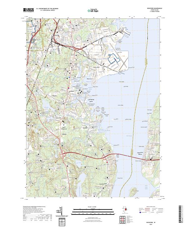
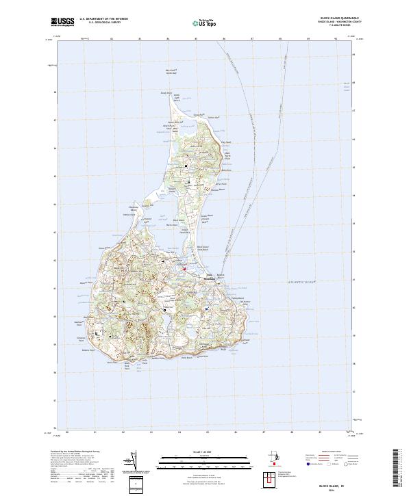
2024 Map of Wickford
USGS Topo · Published 2024This historical map portrays the area of Wickford in 2024, primarily covering Washington County as well as portions of Kent County and Newport County. Featuring a scale of 1:24000, this map provides a highly detailed snapshot of the terrain, roads, buildings, counties, and historical landmarks in the Wickford region at the time. Published in 2024, it is the sole known edition of this map.
Map Details
Editions of this 2024 Wickford Map
This is the sole edition of this map. No revisions or reprints were ever made.
Historical Maps of Jamestown Through Time
23 maps found

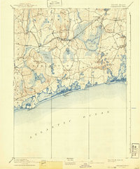
1889 Block Island
Washington County, RI
1889 Charlestown
Washington County, RI

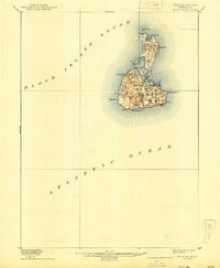
1894 Block Island
Washington County, RI
1899 Block Island
Washington County, RI

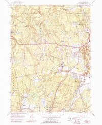
1919 Charlestown
Washington County, RI

1921 Charlestown
Washington County, RI

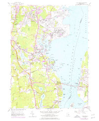
1942 Wickford
Washington County, RI

1943 Slocum
Washington County, RI

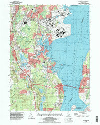
1944 Wickford
Washington County, RI

1950 Slocum
Washington County, RI
1955 Slocum
Washington County, RI
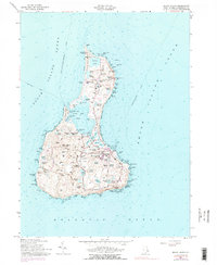
1957 Block Island
Washington County, RI
1957 Wickford
Washington County, RI

1984 Block Island
Washington County, RI
1995 Wickford
Washington County, RI

1996 Slocum
Washington County, RI

1998 Block Island
Washington County, RI

2001 Slocum
Washington County, RI
2024 Block Island
Washington County, RI
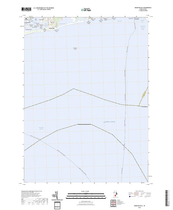
2024 Kingston OE S
Washington County, RI
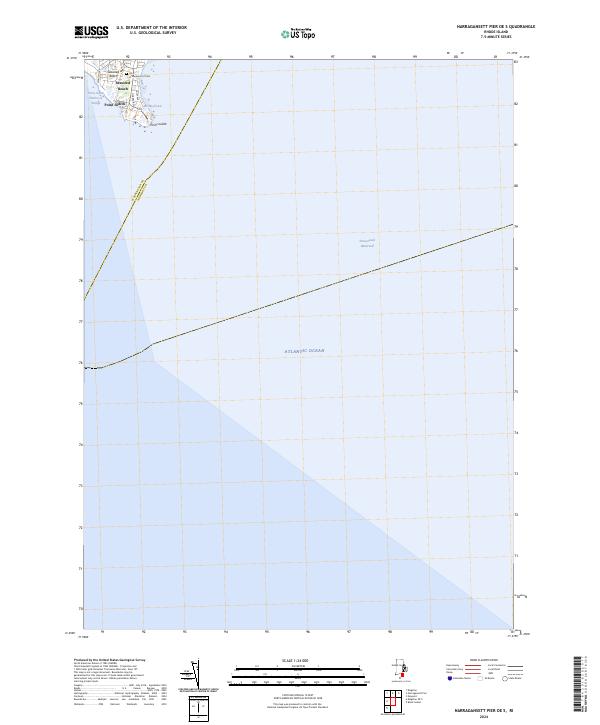
2024 Narragansett Pier OE S
Washington County, RI

2024 Slocum
Washington County, RI
2024 Wickford
Washington County, RI