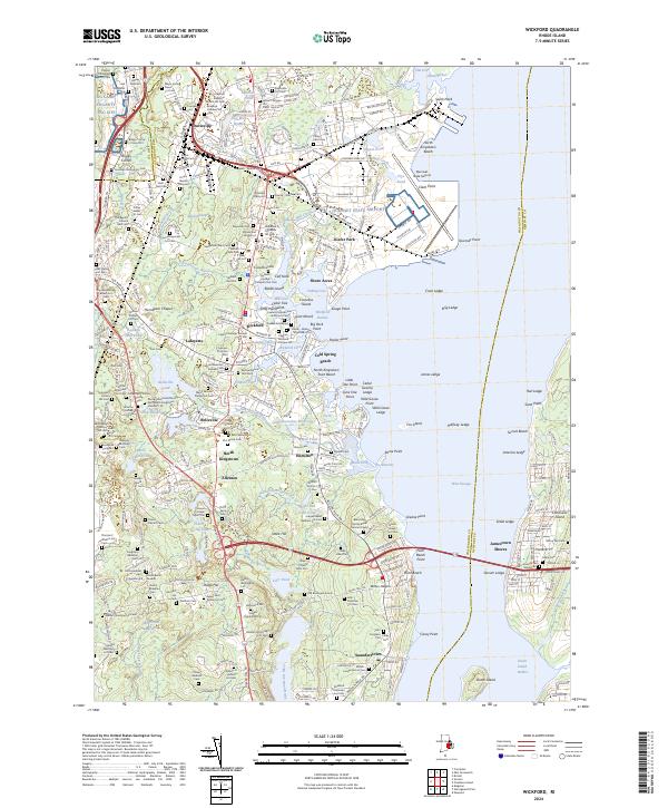
2024 Map of Wickford
USGS Topo · Published 2024About this map
Cocumcussoc and the historic waterfront of Wickford define the northeastern portion of this coastal Washington County landscape. The mapping captures the intricate shoreline of Wickford Harbor and Fishing Cove, where numerous family-named burial plots, such as the Pardon Tillinghast Lot Cem and Captain Benedict Peckham Lot Cem, reflect the area's deep colonial and maritime roots. The inland terrain is marked by the transition from the Black Swamp to elevated landmarks like Stook Hill, with several mill ponds and reservoirs evidencing early industrial water use along the Annaquatucket River.
Find a feature on this map
298 named features on this map. Tap any name to fly to it.
Don’t see what you’re looking for? This feature index may not catch every label — zoom into the map to look around manually.
Map Details
Editions of this 2024 Wickford Map
This is the sole edition of this map. No revisions or reprints were ever made.
Other maps of this area

1889 · Charlestown
USGS Topo · 1:62,500

1889 · Newport
USGS Topo · 1:62,500

1890 · Narragansett Bay
USGS Topo · 1:62,500

1890 · Kent
USGS Topo · 1:62,500

1892 · Narragansett Bay
USGS Topo · 1:62,500

1894 · Kent
USGS Topo · 1:62,500

1894 · Newport
USGS Topo · 1:62,500

1904 · Newport
USGS Topo · 1:62,500

1919 · Charlestown
USGS Topo · 1:62,500

1919 · Narragansett Bay
USGS Topo · 1:62,500