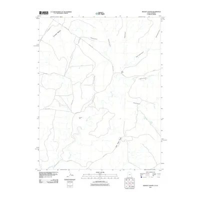
2011 Map of Wickiup Canyon
USGS Topo · Published 2011About this map
Cajon Mesa and Mail Trail Mesa dominate this high desert landscape on the border of Utah and Colorado. The terrain is defined by a series of deep drainage systems, most notably Wickiup Canyon, Bridge Canyon, and Hovenweep Canyon, which flow generally southward toward the winding path of McElmo Creek. The presence of the Ismay Trading Post and the Ismay Oil Field indicates a mix of traditional commerce and industrial activity in this remote corner of the Shiprock Agency region.
Find a feature on this map
22 named features on this map. Tap any name to fly to it.
Don’t see what you’re looking for? This feature index may not catch every label — zoom into the map to look around manually.
Map Details
Editions of this 2011 Wickiup Canyon Map
This is the sole edition of this map. No revisions or reprints were ever made.
Other maps of this area

1886 · Abajo
USGS Topo · 1:250,000

1892 · Abajo
USGS Topo · 1:250,000

1893 · Abajo
USGS Topo · 1:250,000

1956 · Cortez
USGS Topo · 1:250,000

1957 · Moqui NW
USGS Topo · 1:24,000

1957 · Aneth 1 NE
USGS Topo · 1:24,000

1957 · Aneth 1 NW
USGS Topo · 1:24,000

1957 · Moqui SW
USGS Topo · 1:24,000

1958 · Sentinel Peak NW
USGS Topo · 1:24,000

1958 · Cortez
USGS Topo · 1:250,000