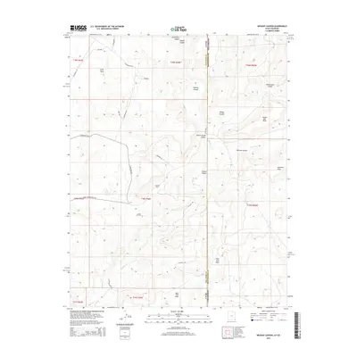
2014 Map of Wickiup Canyon
USGS Topo · Published 2014About this map
Cajon Mesa and the surrounding high desert plateaus define this borderlands landscape where Utah's San Juan County meets Colorado's Montezuma County. The 2014 survey reveals an area defined by deep drainage systems, including Little Ruin Canyon, Wickiup Canyon, and Yellow Jacket Canyon, which carve through the arid terrain. The map documents the mid-century industrial footprint of the Four Corners region, specifically the Aneth Oil Field and Ismay Oil Field, showing how energy extraction has integrated with the older network of ranching and trading routes like Ismay Trading Post Rd. From the steep walls of McElmo Canyon to the broad expanses of Mail Trail Mesa, the map illustrates the complex topography that historically necessitated winding tracks such as Hovenweep Rd and Windmill Rd to navigate the broken ground of the San Juan Basin.
Find a feature on this map
38 named features on this map. Tap any name to fly to it.
Don’t see what you’re looking for? This feature index may not catch every label — zoom into the map to look around manually.
Map Details
Editions of this 2014 Wickiup Canyon Map
This is the sole edition of this map. No revisions or reprints were ever made.
Other maps of this area

1886 · Abajo
USGS Topo · 1:250,000

1892 · Abajo
USGS Topo · 1:250,000

1893 · Abajo
USGS Topo · 1:250,000

1956 · Cortez
USGS Topo · 1:250,000

1957 · Moqui NW
USGS Topo · 1:24,000

1957 · Aneth 1 NE
USGS Topo · 1:24,000

1957 · Aneth 1 NW
USGS Topo · 1:24,000

1957 · Moqui SW
USGS Topo · 1:24,000

1958 · Sentinel Peak NW
USGS Topo · 1:24,000

1958 · Cortez
USGS Topo · 1:250,000