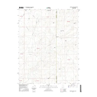
2017 Map of Wickiup Canyon
USGS Topo · Published 2017About this map
Cajon Mesa dominates the high ground of this high-desert landscape on the border of Utah and Colorado. The terrain is deeply incised by a series of dramatic drainages, including Wickiup Canyon, Hovenweep Canyon, and Yellow Jacket Canyon, all of which eventually feed toward McElmo Canyon. This 2017 survey details the remote boundary between San Juan County, Utah, and Montezuma County, Colorado, showing the modern road network that services this ancient archaeological landscape.
Find a feature on this map
36 named features on this map. Tap any name to fly to it.
Don’t see what you’re looking for? This feature index may not catch every label — zoom into the map to look around manually.
Map Details
Editions of this 2017 Wickiup Canyon Map
This is the sole edition of this map. No revisions or reprints were ever made.
Other maps of this area

1886 · Abajo
USGS Topo · 1:250,000

1892 · Abajo
USGS Topo · 1:250,000

1893 · Abajo
USGS Topo · 1:250,000

1956 · Cortez
USGS Topo · 1:250,000

1957 · Moqui NW
USGS Topo · 1:24,000

1957 · Aneth 1 NE
USGS Topo · 1:24,000

1957 · Aneth 1 NW
USGS Topo · 1:24,000

1957 · Moqui SW
USGS Topo · 1:24,000

1958 · Sentinel Peak NW
USGS Topo · 1:24,000

1958 · Cortez
USGS Topo · 1:250,000