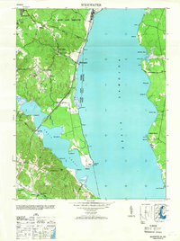
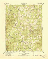
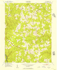
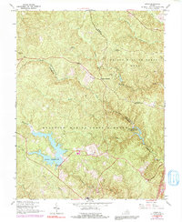
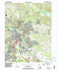
1946 Map of Widewater
USGS Topo · Published 1953About this map
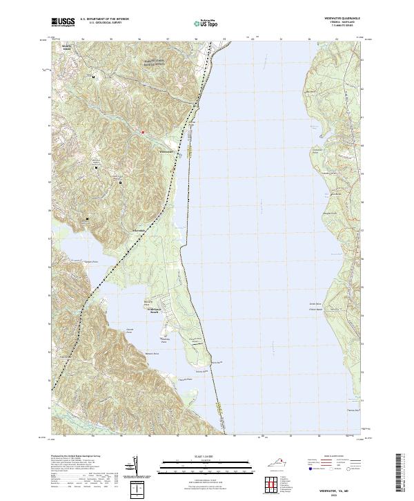
The Potomac River dominates this mid-century view of the Stafford County shoreline, where the Richmond Fredericksburg and Potomac rail line runs parallel to the water's edge. This coastal landscape is defined by its numerous points and coves, including Mallows Bay on the Maryland side and the deep inlet of Aquia Creek to the south. Small inland communities like Widewater and Decatur are centered around local gathering spots such as Mountjoy Store and Decatur Store, serving a rural population before the mid-twentieth century expansion of suburban housing.
Find a feature on this map
51 named features on this map. Tap any name to fly to it.
Don’t see what you’re looking for? This feature index may not catch every label — zoom into the map to look around manually.
Map Details
Editions of this 1946 Widewater Map
This is the sole edition of this map. No revisions or reprints were ever made.
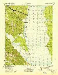
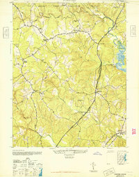
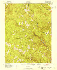
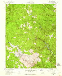
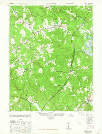
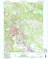
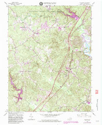
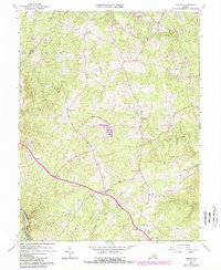
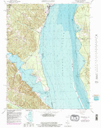
Historical Maps of Widewater Through Time
28 maps found

1926 Stafford
Stafford County, VA

1931 Stafford
Stafford County, VA
1943 Fredericksburg
Stafford County, VA
1944 Fredericksburg
Stafford County, VA
1944 Stafford
Stafford County, VA
1944 Storck
Stafford County, VA
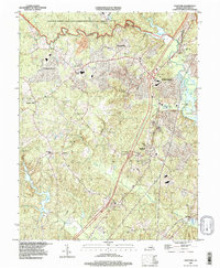
1944 Widewater
Stafford County, VA
1946 Stafford
Stafford County, VA
1946 Widewater
Stafford County, VA
1951 Joplin
Stafford County, VA
1953 Storck
Stafford County, VA
1957 Joplin
Stafford County, VA
1965 Stafford
Stafford County, VA
1966 Fredericksburg
Stafford County, VA
1966 Joplin
Stafford County, VA
1966 Stafford
Stafford County, VA
1966 Storck
Stafford County, VA
1966 Widewater
Stafford County, VA

1972 Fredericksburg
Stafford County, VA
1994 Fredericksburg
Stafford County, VA
1994 Stafford
Stafford County, VA
1997 Joplin
Stafford County, VA
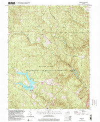
1998 Widewater
Stafford County, VA
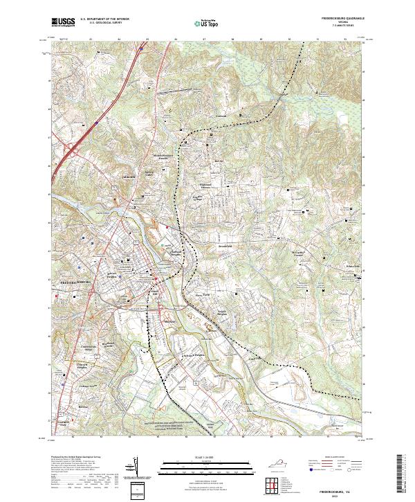
2022 Fredericksburg
Stafford County, VA
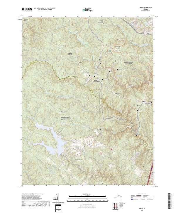
2022 Joplin
Stafford County, VA
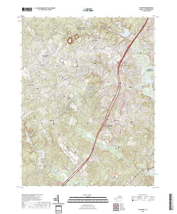
2022 Stafford
Stafford County, VA
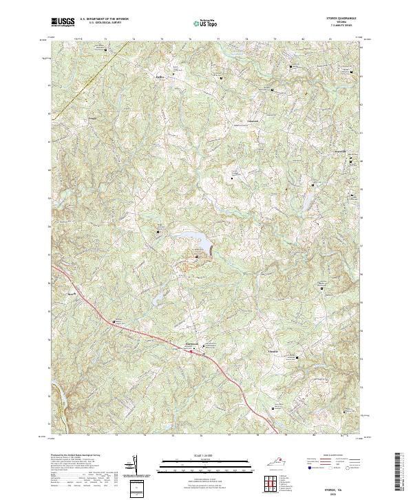
2022 Storck
Stafford County, VA
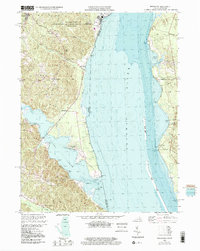
2022 Widewater
Stafford County, VA