Loading...
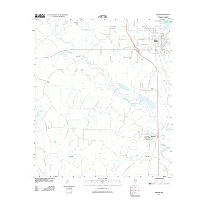
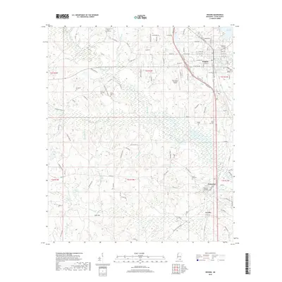
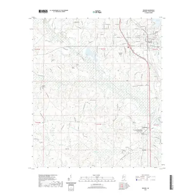
Loading map...1983 Map of Wiggins
USGS Topo · Published 1984About this map
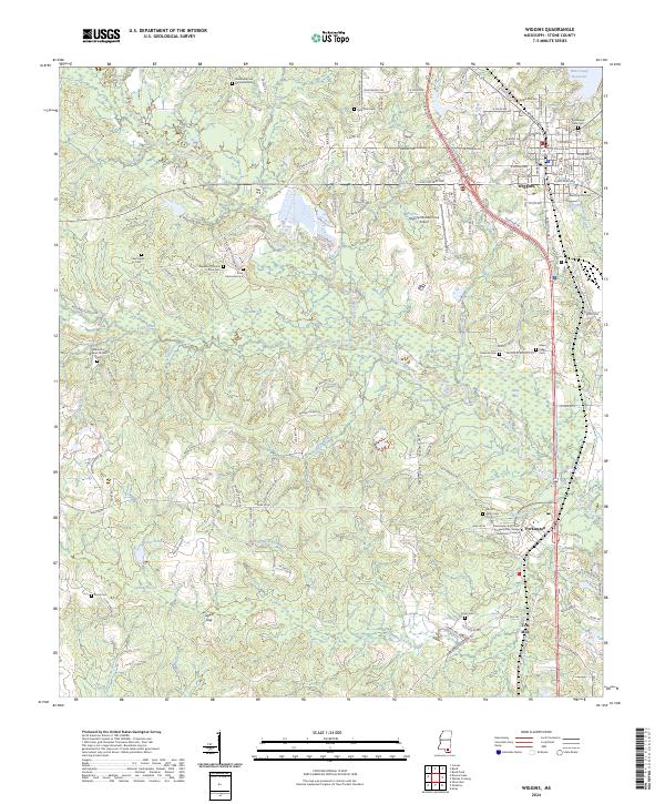
Wiggins and Perkinston anchor this 1980s landscape, serving as the commercial and educational hubs for Stone County. The corridor along the Illinois Central Gulf railroad tracks shows the concentrated development of these towns, including Stone High Sch and the Mississippi Gulf Coast Jr College campus. Just north of the main settlement, the Flint Creek Water Park and Flint Creek Res indicate the importance of water management and local recreation during this era.
Find a feature on this map
53 named features on this map. Tap any name to fly to it.
Don’t see what you’re looking for? This feature index may not catch every label — zoom into the map to look around manually.
Map Details
Date Portrayed1983
Date Published1984
PublisherU.S. Geological Survey
Map TypeTopographic
Scale1:24,000
Physical Dimensions21.9 x 26.8 inches
Editions of this 1983 Wiggins Map
This is the sole edition of this map. No revisions or reprints were ever made.
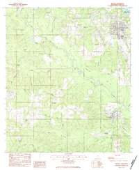
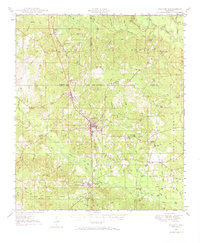
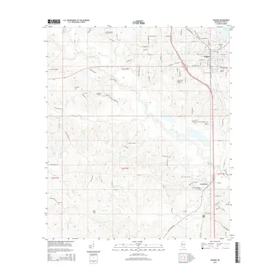
Historical Maps of Wiggins Through Time
8 maps found

Featured Locations
Source Details
SourceU.S. Geological Survey
CopyrightPublic Domain