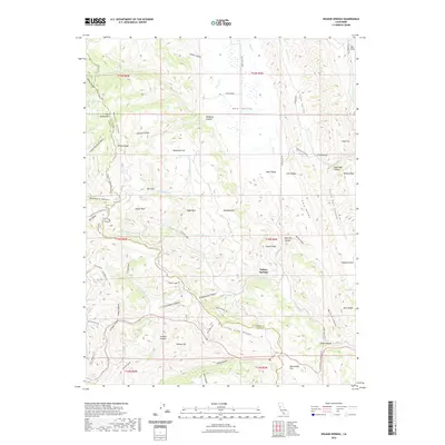
2022 Map of Wilbur Springs
USGS Topo · Published 2022About this map
Wilbur Springs serves as the focal point of this northern California landscape, where the rugged intersections of Lake and Colusa Counties meet along County Line Ridge. The terrain is defined by a complex network of canyons and gulches, including the colorfully named Glory Hole Gulch and Schoolhouse Canyon, which suggest a history of early prospecting and local settlement. Prominent heights like Coyote Peak and Blue Ridge overlook the winding courses of Bear Cr and Sulphur Cr, water sources that likely dictated the placement of early homesteads.
Find a feature on this map
111 named features on this map. Tap any name to fly to it.
Don’t see what you’re looking for? This feature index may not catch every label — zoom into the map to look around manually.
Map Details
Editions of this 2022 Wilbur Springs Map
This is the sole edition of this map. No revisions or reprints were ever made.
Other maps of this area

1905 · Fairview
USGS Topo · 1:24,000

1920 · Venado
USGS Topo · 1:62,500

1924 · Bartlett Springs
USGS Topo · 1:62,500

1942 · Bartlett Springs
USGS Topo · 1:62,500

1943 · Morgan Valley
USGS Topo · 1:62,500

1944 · Bartlett Springs
USGS Topo · 1:62,500

1944 · Wilbur Springs
USGS Topo · 1:62,500

1944 · Morgan Valley
USGS Topo · 1:62,500

1945 · Lower Lake
USGS Topo · 1:62,500

1947 · Santa Rosa
USGS Topo · 1:250,000