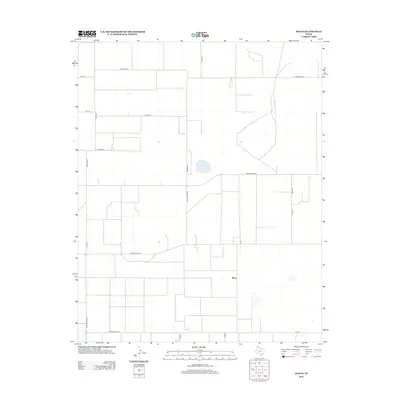
2012 Map of Wilco
USGS Topo · Published 2012About this map
Wilco and the surrounding plains of Hartley County are defined by a geometric grid of ranch roads and family-named lanes in this 2012 survey. The landscape exhibits a highly organized agricultural layout, where the primary north-south artery of Ranch Road 807 and the east-west passage of Ranch Road 297 form the backbone of local transit. Scattered water catchment areas and stock ponds dot the terrain, highlighting the importance of water management in this high-plains environment.
Find a feature on this map
21 named features on this map. Tap any name to fly to it.
Don’t see what you’re looking for? This feature index may not catch every label — zoom into the map to look around manually.
Map Details
Editions of this 2012 Wilco Map
This is the sole edition of this map. No revisions or reprints were ever made.
Other maps of this area

1954 · Tucumcari
USGS Topo · 1:250,000

1954 · Dalhart
USGS Topo · 1:250,000

1958 · Tucumcari
USGS Topo · 1:250,000

1958 · Dalhart
USGS Topo · 1:250,000

1962 · Dalhart
USGS Topo · 1:250,000

1963 · Hartley NE
USGS Topo · 1:24,000

1963 · Moran Ranch
USGS Topo · 1:24,000

1965 · Wilco
USGS Topo · 1:24,000

1965 · Conlen
USGS Topo · 1:24,000

1965 · Wilco NE
USGS Topo · 1:24,000