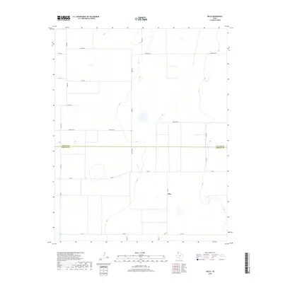
2019 Map of Wilco
USGS Topo · Published 2019About this map
The settlement of Wilco sits at a crossroads in the High Plains of the Texas Panhandle, positioned near the intersection of Fm 2577 and several local rural routes. This 2019 survey illustrates a landscape primarily organized by large-scale agricultural parcels, with the county line between Dallam Co and Hartley Co bisecting the quadrangle. The road network is a rigid grid of Farm to Market roads and named local lanes like Haaland Ln, Summerour Ln, and Frische Ln, many of which appear to serve family-owned ranching or farming operations. The terrain is characterized by subtle elevation changes and scattered ephemeral wetlands or playas typical of this region, providing a detailed look at the rural infrastructure and land divisions that define these two neighboring counties.
Find a feature on this map
23 named features on this map. Tap any name to fly to it.
Don’t see what you’re looking for? This feature index may not catch every label — zoom into the map to look around manually.
Map Details
Editions of this 2019 Wilco Map
This is the sole edition of this map. No revisions or reprints were ever made.
Other maps of this area

1954 · Tucumcari
USGS Topo · 1:250,000

1954 · Dalhart
USGS Topo · 1:250,000

1958 · Tucumcari
USGS Topo · 1:250,000

1958 · Dalhart
USGS Topo · 1:250,000

1962 · Dalhart
USGS Topo · 1:250,000

1963 · Hartley NE
USGS Topo · 1:24,000

1963 · Moran Ranch
USGS Topo · 1:24,000

1965 · Wilco
USGS Topo · 1:24,000

1965 · Conlen
USGS Topo · 1:24,000

1965 · Wilco NE
USGS Topo · 1:24,000