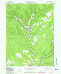
1969 Map of Wilcox
USGS Topo · Published 1981About this map
Wilcox sits at the heart of this landscape, positioned where the West Branch Clarion River begins its southward trek through the Allegheny National Forest. The map documents a rugged industrial corridor defined by energy extraction and transport, evidenced by the Nansen Oil and Gas Field and the Mill Creek Oil and Gas Field. A complex network of pipelines and Conrail rail lines crisscross the valleys, connecting smaller settlements like Dahoga and Tambine to the larger hub of Johnsonburg at the southern edge.
Find a feature on this map
42 named features on this map. Tap any name to fly to it.
Don’t see what you’re looking for? This feature index may not catch every label — zoom into the map to look around manually.
Map Details
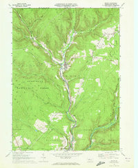
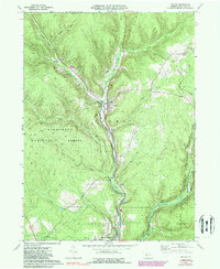
Editions of this 1969 Wilcox Map
3 editions found
Other maps of this area

1934 · Kane
USGS Topo · 1:48,000

1935 · Mt. Jewett
USGS Topo · 1:48,000

1939 · Kane
USGS Topo · 1:62,500

1940 · Hallton
USGS Topo · 1:48,000

1940 · Mt. Jewett
USGS Topo · 1:62,500

1941 · Ridgway
USGS Topo · 1:62,500

1943 · Hallton
USGS Topo · 1:62,500

1944 · Ridgway
USGS Topo · 1:62,500

1957 · Warren
USGS Topo · 1:250,000

1958 · Warren
USGS Topo · 1:250,000
Featured Places
- Saint Marys, PA
- Wilcox, Jones Township
- Tambine, Jones Township
- Wetmore Township, PA
- Ridgway Township, PA