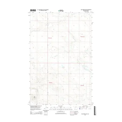
2014 Map of Wild Horse Butte
USGS Topo · Published 2014About this map
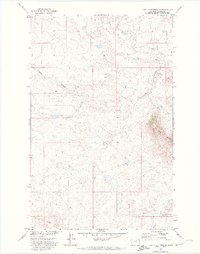
Wild Horse Butte stands as a prominent landmark in this sparsely populated stretch of Blaine County, overlooking a landscape defined by intermittent water sources and ranching geography. The drainage of White Bear Cr and Fifteenmile Cr cuts through the high plains, where water management is critical to the local land use, as evidenced by Old Woman Reservoir and J Lake. Running north-to-south, MT-66 provides the primary transit corridor through this open country, connecting isolated points like Wild Horse Spring. The survey detail reflects the township and range system across this area of the Agency District, documenting the relationship between the natural topography and the surveyed boundaries of the Montana prairie.
Find a feature on this map
11 named features on this map. Tap any name to fly to it.
Don’t see what you’re looking for? This feature index may not catch every label — zoom into the map to look around manually.
Map Details
Editions of this 2014 Wild Horse Butte Map
This is the sole edition of this map. No revisions or reprints were ever made.
Other maps of this area

1953 · Havre
USGS Topo · 1:250,000

1957 · Havre
USGS Topo · 1:250,000

1958 · Havre
USGS Topo · 1:250,000

1964 · Threemile Reservoir
USGS Topo · 1:24,000
1964 · Fort Belknap Agency
USGS Topo · 1:24,000
1964 · Savoy
USGS Topo · 1:24,000
1971 · Fort Belknap Agency SE
USGS Topo · 1:24,000

1971 · Lodge Pole NW
USGS Topo · 1:24,000

1971 · Lodge Pole NE
USGS Topo · 1:24,000
1971 · Lake Seventeen NE
USGS Topo · 1:24,000