
1964 Map of Wild Horse Island
USGS Topo · Published 1966About this map
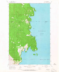
Wild Horse Island dominates this mid-century survey of western Flathead Lake, showing a landscape defined by its intricate shoreline and high-elevation topography. The interior of the island reaches several notable peaks, while the mainland to the south is characterized by steep slopes and secluded basins. Along the water, localized pockets of activity are evident at Lindisfarne (Camp Marshall) and near Dream Isle.
Find a feature on this map
24 named features on this map. Tap any name to fly to it.
Don’t see what you’re looking for? This feature index may not catch every label — zoom into the map to look around manually.
Map Details
Editions of this 1964 Wild Horse Island Map
This is the sole edition of this map. No revisions or reprints were ever made.
Other maps of this area

1920 · Flathead Lake
USGS Topo · 1:125,000

1956 · Wallace
USGS Topo · 1:250,000

1960 · Wallace
USGS Topo · 1:250,000

1964 · Bull Island
USGS Topo · 1:24,000

1964 · Buffalo Bridge
USGS Topo · 1:24,000

1964 · East Bay
USGS Topo · 1:24,000
1964 · Rollins
USGS Topo · 1:24,000

1964 · Elmo
USGS Topo · 1:24,000

1964 · Polson
USGS Topo · 1:24,000
1964 · Proctor
USGS Topo · 1:24,000