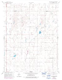
1959 Map of Wild Horse Lake
USGS Topo · Published 1993About this map
The High Plains landscape of Southwest Kansas is defined here by the emerging natural gas industry and the transition of early prairie settlements. Photorevised in 1978 from original 1959 surveys, the map illustrates the rural intersections of Ivanhoe, Haskell, and Lockport townships. The presence of numerous Gas Wells throughout the territory signals the mid-century energy boom that reshaped the economy of this section of the state. Local history is anchored by markers of early community life, notably the Ivanhoe Cem in the southwest and Independence Sch to the east. The namesake Wild Horse Lake sits as a prominent natural feature in a region where surface water is scarce, surrounded by the section lines that dictate the orderly agricultural layout of the county.
Find a feature on this map
8 named features on this map. Tap any name to fly to it.
Don’t see what you’re looking for? This feature index may not catch every label — zoom into the map to look around manually.
Map Details
Editions of this 1959 Wild Horse Lake Map
3 editions found
Other maps of this area

1896 · Garden
USGS Topo · 1:125,000

1955 · Dodge City
USGS Topo · 1:250,000

1958 · Dodge City
USGS Topo · 1:250,000

1959 · Dodge City
USGS Topo · 1:250,000

1959 · Garden City 3 NW
USGS Topo · 1:24,000

1959 · Garden City 3 NE
USGS Topo · 1:24,000

1960 · Garden City SW
USGS Topo · 1:24,000

1960 · Garden City 3 SW
USGS Topo · 1:24,000

1960 · Garden City 3 SE
USGS Topo · 1:24,000

1960 · Plymell
USGS Topo · 1:24,000