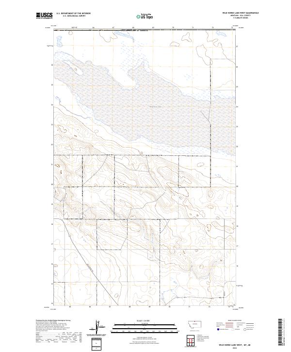
2024 Map of Wild Horse Lake West
USGS Topo · Published 2024About this map
Wild Horse Lake dominates the upper landscape of this Hill County survey, straddling the international boundary with the United States of America. The terrain is characterized by the seasonal expanse of the lake and its surrounding wetlands, fed by the winding course of Sage Creek as it enters from the west. This high-plains geography reflects a sparsely settled environment where transport is defined by long-established routes and modern access points.
Find a feature on this map
9 named features on this map. Tap any name to fly to it.
Don’t see what you’re looking for? This feature index may not catch every label — zoom into the map to look around manually.
Map Details
Editions of this 2024 Wild Horse Lake West Map
This is the sole edition of this map. No revisions or reprints were ever made.
Other maps of this area

1912 · Thibedeau Lake
USGS Topo · 1:125,000

1920 · Gildford
USGS Topo · 1:125,000

1943 · Gildford
USGS Topo · 1:125,000

1953 · Havre
USGS Topo · 1:250,000

1954 · Shelby
USGS Topo · 1:250,000

1957 · Havre
USGS Topo · 1:250,000

1958 · Shelby
USGS Topo · 1:250,000

1958 · Havre
USGS Topo · 1:250,000
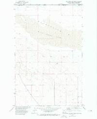
1972 · Wild Horse Lake West
USGS Topo · 1:24,000
1972 · Cottonwood
USGS Topo · 1:24,000