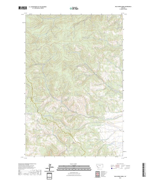
2024 Map of Wild Horse Parks
USGS Topo · Published 2024About this map
Wild Horse Parks and the surrounding high-country drainages of the Powell and Granite County line dominate this 2024 landscape. The terrain is defined by a dense network of mountain streams, including the uniquely named Yourname Creek in the north and the diverging flows of Black Bear Creek and Bear Creek to the south. Significant portions of the landscape are managed as the Blackfoot Valley Conservation Area, reflecting a modern emphasis on habitat preservation across these traditional timber and grazing lands.
Find a feature on this map
26 named features on this map. Tap any name to fly to it.
Don’t see what you’re looking for? This feature index may not catch every label — zoom into the map to look around manually.
Map Details
Editions of this 2024 Wild Horse Parks Map
This is the sole edition of this map. No revisions or reprints were ever made.
Other maps of this area

1919 · Drummond
USGS Topo · 1:125,000

1921 · Drummond
USGS Topo · 1:125,000

1947 · Butte
USGS Topo · 1:250,000

1958 · Butte
USGS Topo · 1:250,000

1958 · Drummond
USGS Topo · 1:62,500

1959 · Bearmouth
USGS Topo · 1:62,500

1960 · Butte
USGS Topo · 1:250,000

1962 · Butte
USGS Topo · 1:250,000
1965 · Chimney Lakes
USGS Topo · 1:24,000

1965 · Wild Horse Parks
USGS Topo · 1:24,000