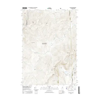
2015 Map of Wild River
USGS Topo · Published 2015About this map
White Mountain National Forest dominates this topographic study along the Maine and New Hampshire border, where the steep peaks of the White Mountains drop into the valley of the Wild River. The landscape is defined by its dramatic relief and water network, featuring numerous named brooks and falls including Brickett Falls and Hermit Falls. Local history is anchored by Brickett Place, situated near the confluence of Basin Brook and Cold River.
Find a feature on this map
57 named features on this map. Tap any name to fly to it.
Don’t see what you’re looking for? This feature index may not catch every label — zoom into the map to look around manually.
Map Details
Editions of this 2015 Wild River Map
This is the sole edition of this map. No revisions or reprints were ever made.
Other maps of this area

1893 · Gorham
USGS Topo · 1:62,500

1894 · North Conway
USGS Topo · 1:62,500

1896 · North Conway
USGS Topo · 1:62,500

1896 · Gorham
USGS Topo · 1:62,500

1909 · Fryeburg
USGS Topo · 1:62,500

1911 · Fryeburg
USGS Topo · 1:62,500

1914 · Bethel
USGS Topo · 1:62,500

1937 · Gorham
USGS Topo · 1:48,000

1940 · Bethel
USGS Topo · 1:62,500

1941 · Bethel
USGS Topo · 1:62,500