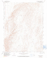
1969 Map of Wildcat Wash NE
USGS Topo · Published 1990About this map
Meadow Valley Mountains dominate this high-desert landscape in Lincoln County, Nevada, as it appeared in the late 1960s. The topography is defined by the sharp transition between the mountain range and the flat expansive reaches of Coyote Spring Valley to the west. This desert drainage system is characterized by seasonal watercourses like Wildcat Wash and Farrier Wash, which carve through the foothills of the Bunker Hills. Aside from a primitive Jeep Trail winding through the northern portion of the quadrangle, the area remains largely undisturbed by modern development. This 1969 field-checked survey preserves the natural landforms and elevation data of this corner of the Great Basin before the widespread availability of modern GPS or digital satellite mapping.
Find a feature on this map
6 named features on this map. Tap any name to fly to it.
Don’t see what you’re looking for? This feature index may not catch every label — zoom into the map to look around manually.
Map Details
Editions of this 1969 Wildcat Wash NE Map
2 editions found
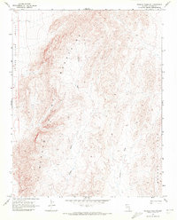
Other maps of this area

1885 · Pioche
USGS Topo · 1:250,000

1886 · Saint Thomas
USGS Topo · 1:250,000

1886 · Pioche
USGS Topo · 1:250,000

1893 · Saint Thomas
USGS Topo · 1:250,000

1954 · Caliente
USGS Topo · 1:250,000

1954 · Las Vegas
USGS Topo · 1:250,000

1957 · Las Vegas
USGS Topo · 1:250,000

1959 · Caliente
USGS Topo · 1:250,000

1959 · Las Vegas
USGS Topo · 1:250,000

1962 · Las Vegas
USGS Topo · 1:250,000