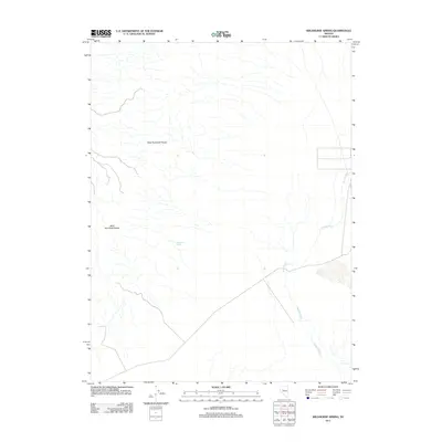
2011 Map of Wildhorse Spring
USGS Topo · Published 2011About this map
The West Humboldt Range dominates this Churchill County landscape, providing a stark topographical backdrop to the arid Great Basin terrain. A primary drainage feature, Packard Wash, winds across the eastern portion of the quadrangle, highlighting the seasonal water patterns of the high desert. The map identifies the remote Wildhorse Spring, a critical water source in this environment that has likely served as a landmark for travelers and livestock throughout the region's history. This 2011 survey illustrates the sparse, undeveloped character of the range, where natural topography and vital springs dictate the movement and settlement patterns of the land.
Find a feature on this map
3 named features on this map. Tap any name to fly to it.
Don’t see what you’re looking for? This feature index may not catch every label — zoom into the map to look around manually.
Map Details
Editions of this 2011 Wildhorse Spring Map
This is the sole edition of this map. No revisions or reprints were ever made.
Other maps of this area

1908 · Carson Sink
USGS Topo · 1:250,000

1910 · Carson Sink
USGS Topo · 1:250,000

1931 · Lovelock
USGS Topo · 1:250,000

1935 · Lovelock
USGS Topo · 1:250,000

1954 · Buffalo Mtn
USGS Topo · 1:62,500

1955 · Lovelock
USGS Topo · 1:250,000

1956 · Lovelock
USGS Topo · 1:62,500

1957 · Reno
USGS Topo · 1:250,000

1959 · Lovelock
USGS Topo · 1:250,000

1959 · Reno
USGS Topo · 1:250,000