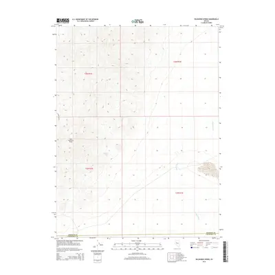
2014 Map of Wildhorse Spring
USGS Topo · Published 2014About this map
The West Humboldt Range dominates this portion of the Great Basin, where steep topographic contours descend into the arid desert flats of Churchill and Pershing counties. A critical water source in this high-desert environment, Wildhorse Spring sits tucked within the western slopes of the range, likely serving as a vital waypoint for travelers and livestock moving through the region. Along the eastern edge of the mountains, the ephemeral Packard Wash carves a drainage path through the sagebrush towards the lower valley floors. Transportation in this sparsely populated area is limited to rugged routes like E Reservation Rd, which skirts the northwestern foothills. This 2014 survey captures the intersection of public land survey sections across four townships, illustrating a landscape defined by dramatic elevation changes and the sparse distribution of life-sustaining water sources.
Find a feature on this map
9 named features on this map. Tap any name to fly to it.
Don’t see what you’re looking for? This feature index may not catch every label — zoom into the map to look around manually.
Map Details
Editions of this 2014 Wildhorse Spring Map
This is the sole edition of this map. No revisions or reprints were ever made.
Other maps of this area

1908 · Carson Sink
USGS Topo · 1:250,000

1910 · Carson Sink
USGS Topo · 1:250,000

1931 · Lovelock
USGS Topo · 1:250,000

1935 · Lovelock
USGS Topo · 1:250,000

1954 · Buffalo Mtn
USGS Topo · 1:62,500

1955 · Lovelock
USGS Topo · 1:250,000

1956 · Lovelock
USGS Topo · 1:62,500

1957 · Reno
USGS Topo · 1:250,000

1959 · Lovelock
USGS Topo · 1:250,000

1959 · Reno
USGS Topo · 1:250,000