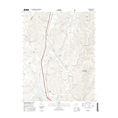
2016 Map of Wildie
USGS Topo · Published 2016About this map
Renfro Valley serves as a cultural and geographic anchor in this part of Rockcastle County, where the hills begin to transition into the eastern national forests. The map reveals a landscape defined by sharp elevation changes, from the heights of Owens Knob and Linville Knob to the winding course of Roundstone Cr. The southern portion of the quadrangle is dominated by the reservoir of Lake Linville, which is fed by the north-flowing Renfro Cr.
Find a feature on this map
103 named features on this map. Tap any name to fly to it.
Don’t see what you’re looking for? This feature index may not catch every label — zoom into the map to look around manually.
Map Details
Editions of this 2016 Wildie Map
This is the sole edition of this map. No revisions or reprints were ever made.
Other maps of this area

1892 · Richmond
USGS Topo · 1:125,000

1893 · London
USGS Topo · 1:125,000

1897 · Richmond
USGS Topo · 1:125,000

1897 · London
USGS Topo · 1:125,000

1952 · Berea
USGS Topo · 1:24,000

1952 · Paint Lick
USGS Topo · 1:24,000

1952 · Bighill
USGS Topo · 1:24,000

1953 · Johnetta
USGS Topo · 1:24,000

1953 · Maretburg
USGS Topo · 1:24,000

1953 · Wildie
USGS Topo · 1:24,000