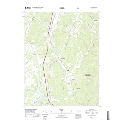
2019 Map of Wildie
USGS Topo · Published 2019About this map
Renfro Valley serves as a prominent focal point in this portion of Rockcastle County, where the valley floor transitions into the elevated terrain of the Daniel Boone National Forest. The landscape is defined by its numerous knobs and hollows, with Linville Knob and Owens Knob standing as significant landmarks. The drainage network is complex, featuring Roundstone Creek and its many tributaries such as Valley-Spring Branch and Little Clear Creek, which have shaped the settlement patterns of communities like Wildie and Roundstone.
Find a feature on this map
100 named features on this map. Tap any name to fly to it.
Don’t see what you’re looking for? This feature index may not catch every label — zoom into the map to look around manually.
Map Details
Editions of this 2019 Wildie Map
This is the sole edition of this map. No revisions or reprints were ever made.
Other maps of this area

1892 · Richmond
USGS Topo · 1:125,000

1893 · London
USGS Topo · 1:125,000

1897 · Richmond
USGS Topo · 1:125,000

1897 · London
USGS Topo · 1:125,000

1952 · Berea
USGS Topo · 1:24,000

1952 · Paint Lick
USGS Topo · 1:24,000

1952 · Bighill
USGS Topo · 1:24,000

1953 · Johnetta
USGS Topo · 1:24,000

1953 · Maretburg
USGS Topo · 1:24,000

1953 · Wildie
USGS Topo · 1:24,000