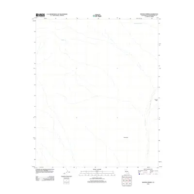
2012 Map of Wilhelm Spring
USGS Topo · Published 2012About this map
Wilhelm Spring serves as a critical water source in this arid expanse of Ward Valley, where the landscape is defined by the complex drainage patterns of ephemeral desert washes. The 2012 survey illustrates a topography shaped by natural water movement, with the prominent Painted Rock Wash and Homer Wash cutting across the terrain. These seasonal channels, including Browns Wash, suggest a landscape where water is the primary architect of the land, despite its infrequent presence. This map is a record of the hydrological features of San Bernardino County before further 21st-century environmental shifts, providing a detailed look at the drainage networks that support this specific corner of the California desert.
Find a feature on this map
5 named features on this map. Tap any name to fly to it.
Don’t see what you’re looking for? This feature index may not catch every label — zoom into the map to look around manually.
Map Details
Editions of this 2012 Wilhelm Spring Map
This is the sole edition of this map. No revisions or reprints were ever made.
Other maps of this area

1942 · Amboy
USGS Topo · 1:250,000

1943 · Center Hills
USGS Topo · 1:62,500

1943 · Amboy
USGS Topo · 1:250,000

1943 · Essex
USGS Topo · 1:62,500

1943 · Turtle Mts.
USGS Topo · 1:62,500

1954 · Needles
USGS Topo · 1:250,000

1954 · Turtle Mountains
USGS Topo · 1:62,500

1956 · Needles
USGS Topo · 1:250,000

1956 · Milligan
USGS Topo · 1:62,500

1956 · Essex
USGS Topo · 1:62,500