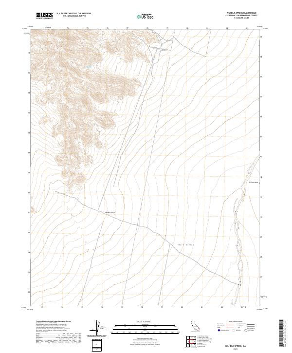
2021 Map of Wilhelm Spring
USGS Topo · Published 2021About this map
Wilhelm Spring serves as a critical point of interest in this high-elevation corner of the Mojave Desert, where the terrain transitions toward the broad expanse of Ward Valley. This 2021 survey by the U.S. Geological Survey documents a landscape defined by its hydrology and historical travel routes. The E Mojave Heritage Trl winds through the northern sections, following the contours of the land in an area where water sources like the spring were historically vital for transit. To the east, the drainage of Browns Wash marks the lower elevations, illustrating the seasonal water flow patterns that shape the arid environment. The map provides a precise layout of the Public Land Survey System grid, including townships t5n r18e and t4n r19e, which is essential for researchers tracing land ownership and desert navigation in San Bernardino County.
Find a feature on this map
11 named features on this map. Tap any name to fly to it.
Don’t see what you’re looking for? This feature index may not catch every label — zoom into the map to look around manually.
Map Details
Editions of this 2021 Wilhelm Spring Map
This is the sole edition of this map. No revisions or reprints were ever made.
Other maps of this area

1942 · Amboy
USGS Topo · 1:250,000

1943 · Center Hills
USGS Topo · 1:62,500

1943 · Amboy
USGS Topo · 1:250,000

1943 · Essex
USGS Topo · 1:62,500

1943 · Turtle Mts.
USGS Topo · 1:62,500

1954 · Needles
USGS Topo · 1:250,000

1954 · Turtle Mountains
USGS Topo · 1:62,500

1956 · Needles
USGS Topo · 1:250,000

1956 · Milligan
USGS Topo · 1:62,500

1956 · Essex
USGS Topo · 1:62,500