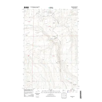
2014 Map of Wilkeson
USGS Topo · Published 2014About this map
The Carbon River carves a deep path through this Pierce County landscape, linking the historic mining and timber settlements of Wilkeson, Carbonado, and Fairfax. This 2014 survey captures a region defined by steep drainages and ridge systems, including Brooks Hill and Cowling Ridge, where the Electron Lookout sits at a high vantage point. The infrastructure of the era is evident in the network of county roads like Mowich Lake Rd and Larson Loss Rd, which navigate the complex topography.
Find a feature on this map
61 named features on this map. Tap any name to fly to it.
Don’t see what you’re looking for? This feature index may not catch every label — zoom into the map to look around manually.
Map Details
Editions of this 2014 Wilkeson Map
This is the sole edition of this map. No revisions or reprints were ever made.
Other maps of this area

1897 · Tacoma
USGS Topo · 1:125,000

1900 · Tacoma
USGS Topo · 1:125,000

1913 · Cedar Lake
USGS Topo · 1:125,000

1924 · Mt Rainier
USGS Topo · 1:96,000

1928 · Mt Rainier
USGS Topo · 1:125,000

1937 · Eatonville
USGS Topo · 1:125,000

1942 · Lake Tapps
USGS Topo · 1:62,500

1944 · Lake Tapps
USGS Topo · 1:62,500

1950 · Yakima
USGS Topo · 1:250,000

1953 · Hoquiam
USGS Topo · 1:250,000