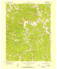
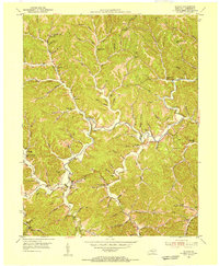
1953 Map of Willard
USGS Topo · Published 1955About this map
The Little Sandy River winds through this 1953 landscape, marking a deeply dissected topography where Carter, Lawrence, and Elliott counties meet. The community of Willard serves as a local hub, situated near the industrial traces of E K Mines Br and its corresponding E K Mines Sch. This mid-century survey captures a network of small upland settlements and hollow-bottom schools, including McDavid Sch and Brushy Sch, reflecting a rural social structure anchored by numerous country churches like Deer Creek Chapel and Antioch Ch.
Find a feature on this map
81 named features on this map. Tap any name to fly to it.
Don’t see what you’re looking for? This feature index may not catch every label — zoom into the map to look around manually.
Map Details
Editions of this 1953 Willard Map
2 editions found
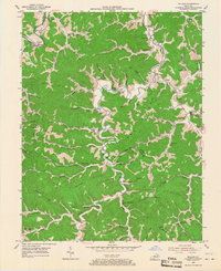
Other maps of this area

1903 · Kenova
USGS Topo · 1:125,000

1904 · Kenova
USGS Topo · 1:125,000

1950 · Bruin
USGS Topo · 1:24,000

1950 · Grahn
USGS Topo · 1:24,000

1950 · Isonville
USGS Topo · 1:24,000

1953 · Grayson
USGS Topo · 1:24,000

1953 · Rush
USGS Topo · 1:24,000
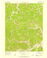
1953 · Mazie
USGS Topo · 1:24,000
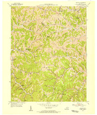
1953 · Webbville
USGS Topo · 1:24,000
1953 · Blaine
USGS Topo · 1:24,000