
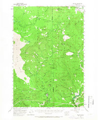
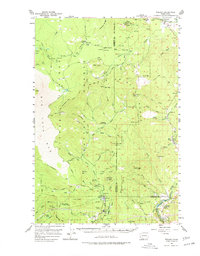
1957 Map of Willard
USGS Topo · Published 1959About this map
The Big Lava Bed and the timber-heavy slopes of the Gifford Pinchot National Forest define this mid-century look at the southern Cascades. The map documents a landscape split between the volcanic geology of the north and the industrial settlement of the south. Near the confluence of the Little White Salmon River and Buck Creek, the community of Willard serves as a hub for the local timber economy, flanked by the distinct industrial sites of Mill A and Mill B.
Find a feature on this map
65 named features on this map. Tap any name to fly to it.
Don’t see what you’re looking for? This feature index may not catch every label — zoom into the map to look around manually.
Map Details
Editions of this 1957 Willard Map
3 editions found
Other maps of this area

1904 · Mount Adams
USGS Topo · 1:125,000

1907 · Mount Adams
USGS Topo · 1:125,000

1926 · Steamboat Mtn
USGS Topo · 1:125,000

1926 · Hood River
USGS Topo · 1:125,000

1929 · Hood River
USGS Topo · 1:125,000

1931 · Steamboat Mtn
USGS Topo · 1:125,000

1934 · The Dalles
USGS Topo · 1:125,000

1950 · Yakima
USGS Topo · 1:250,000

1953 · The Dalles
USGS Topo · 1:250,000

1956 · The Dalles
USGS Topo · 1:250,000