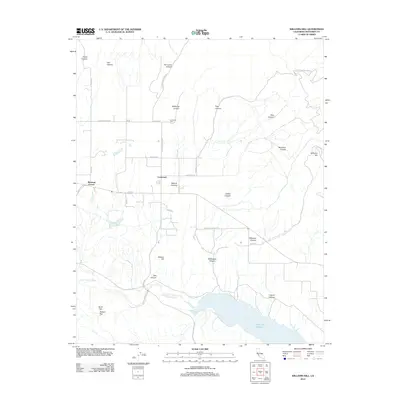
2012 Map of Williams Hill
USGS Topo · Published 2012About this map
Lockwood stands as the primary hub in this portion of Monterey County, surrounded by a complex network of canyons and high ridges. The landscape is defined by the drainage systems of the San Antonio River which feeds into the northern reaches of Lake San Antonio. Significant elevation markers such as Williams Hill and Jackson Hill overlook the agricultural valleys and the Fort Hunter Liggett boundary.
Find a feature on this map
38 named features on this map. Tap any name to fly to it.
Don’t see what you’re looking for? This feature index may not catch every label — zoom into the map to look around manually.
Map Details
Editions of this 2012 Williams Hill Map
This is the sole edition of this map. No revisions or reprints were ever made.
Other maps of this area

1912 · San Ardo
USGS Topo · 1:31,680

1915 · Priest Valley
USGS Topo · 1:125,000

1919 · King City
USGS Topo · 1:62,500

1919 · Bryson
USGS Topo · 1:62,500

1919 · Bradley
USGS Topo · 1:62,500

1939 · King City
USGS Topo · 1:62,500

1941 · San Ardo
USGS Topo · 1:62,500

1941 · Bradley
USGS Topo · 1:62,500

1941 · Bryson
USGS Topo · 1:62,500

1942 · Bryson
USGS Topo · 1:62,500